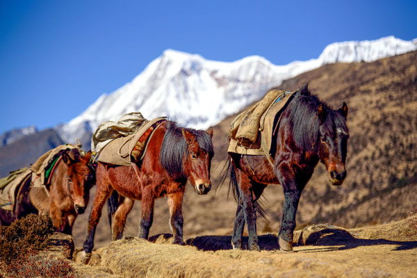
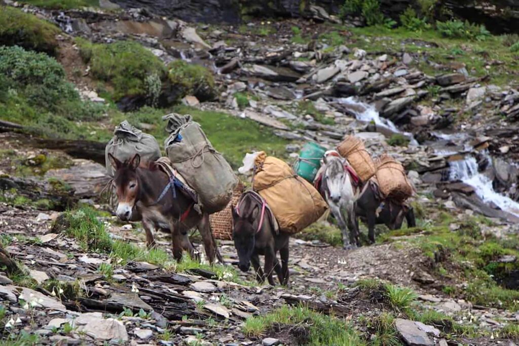
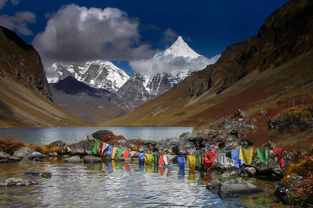
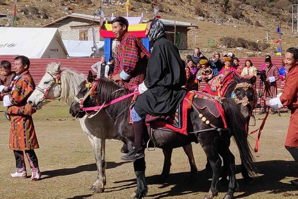
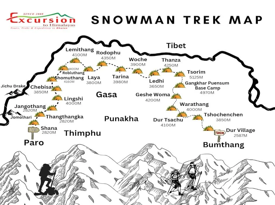
The Trek is the most difficult in Bhutan it crosses about 11 high passes and takes about 29 days to complete the trek. This Trek starts from Paro and ends in Bumthang Dur. We have two routes to complete the snowman Trek. The one ends in Sephu Wangdi which is a little shorter than this route. We can offer both routes.
- Cross the highest 11 passes during the trek in Bhutan.
- Challenge yourself on one of the longest 220-mile trekking in Bhutan.
- Starts from Paro and ends in Bumthang.
The Snowman Trek Difficulty
The Snowman Trek in Bhutan is known for its extreme difficulty and is considered one of the most challenging treks in the world. Here are the key factors contributing to its difficulty:
- Length and Duration: The trek covers approximately 300 kilometres (186 miles) and takes around 20 to 25 days to complete, depending on the itinerary and weather conditions.
- High Altitude: The trek involves multiple high passes, some of which exceed 5,000 meters (16,404 feet). Altitude sickness is a significant risk, and acclimatization is crucial.
- Remote Terrain: The trek traverses remote and rugged terrain, often far from any villages or support facilities. This isolation means that trekkers need to be self-sufficient and well-prepared.
- Weather Conditions: The weather in the high Himalayas can be unpredictable and harsh, with sudden snowstorms, strong winds, and extreme cold, especially at higher altitudes.
- Physical Demands: The trek requires excellent physical fitness and stamina. Long days of walking, steep ascents and descents, and carrying a heavy pack all contribute to the physical challenge.
- Technical Sections: While the trek does not involve technical climbing, some sections can be steep, slippery, and require careful navigation, especially in adverse weather conditions.
- Logistical Challenges: Organizing the trek requires meticulous planning, including obtaining permits, arranging for guides, porters, and supplies, and being prepared for emergencies.
Due to these factors, the Snowman Trek is recommended only for experienced trekkers with high-altitude trekking experience and excellent physical fitness.
The Snowman Trek II Overview:
TREK THE WILDEST, BREATHTAKING ABSOLUTE OFF-THE-BEATEN SNOWMAN TREK IN BHUTAN. The Snowman Trek is our most challenging trek in Bhutan and ranks amongst the very finest anywhere in the Himalayas. The ultimate high-level traverse through the Bhutan Himalaya, from Shana, through Laya, to Lunana. The trek lies within the protected areas of Jigme Dorji National Park. For Snowman Trek, there is a permit requirement besides a Visa. The permit is for restricted areas since the trail goes through many places not meant for Tourist visits. Please make sure that your special permit is done before the Trek.
Highlight of The Trek
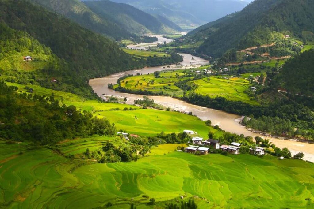
The Trek is the longest hiking trail in Bhutan that extends from Laya to the high Bhutanese Himalayas, covering the northern part of the Kingdom. It was created by the yak herders of the country. It is one of the hardest trekking trails due to hard weather, duration, and altitude in the world and most trekkers do not complete the route.
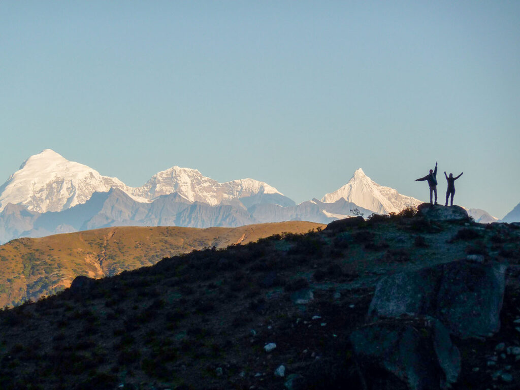
The route begins from Lunana to higher up in Gangkar Puensum and ends in Trongsa and from there to Bumthang District, taking through the rough paths of the Himalayas and taking you as high as 5000m above sea level. It takes you through remote villages, lakes, and eleven mountain passes and provides you with picturesque views of some of the highest mountains of the Kingdom like Jomolhari, Jichu Drake, Gangkar Puensum, Masangang, Tiger Mountain, etc. It was also reported that the snow leopards can be found on the way, although there has been no report of danger.
Best Season to Do the Trek in Bhutan
The best season is Autumn starting from September to December. Snowman Trek is not advised for the Spring season. Spring is just the beginning of Peak winter months and most of the passes are still closed due to heavy snowfall. The snow season in the mountains lasts till early June. Little rainfall on the plane cause Snowfall in the mountains causing the closure of the trek routes.
Flights to Bhutan: There is a daily flight from Kolkatta, Kathmandu and Bangkok. Check the flight schedule
Snowman Trek II Itinerary Overview
- Day 1 Arrival Paro International Airport
- Day 2 Relaxation and Acclimatisation at Paro Valley
- Day 3 Start of the Trek from Paro to Shana.
- Day 4 Shana to Thathangka
- Day 5 Thathangka to Jangothang
- Day 6 Jangothang Halt and relax.
- Day 7 Jangothang to Lingshi
- Day 8 Lingshi to Chebisa
- Day 9 Chebisa to Shomuthang
- Day 10 Shomuthang to Robluthang
- Day 11 Robluthang to Limithang
- Day 12 Limithang to Laya
- Day 13 Explore Laya Village
- Day 14 Laya to Rodophu
- Day 15 Rodophu to Tarina
- Day 16 Tarina to Woche
- Day 17 Woche to Lhedi
- Day 18 Lhedi to Thanza
- Day 19 Thanja to Tsorim
- Day 20 Tsorim to Gangkar Puensum Base Camp
- Day 21 Gangkar Puensum Base Camp Halt
- Day 22 Base Camp to Geshe Woma
- Day 23 Gesewoma to Warathang.
- Day 24 Warathang to Dur Hotspring
- Day 25 Dur Hotsprig to Tshochenchen
- Day 26 Tshichenchen to Jakar Bumthang
- Day 27 Bumthang to Wangdi
- Day 28 Wangdi to Thimphu
- Day 29 Thimphu City Tour
- Day 30 Thimphu to Paro International Airport and See Off
The Snowman Trek Cost
Our trekking cost includes accommodation, meals, permits, and experienced guides. Enjoy hassle-free trekking with transportation, gear rentals, and porter services also covered. Experience the beauty of Bhutan’s trails with all the essentials provided for a memorable adventure.
- Solo trekkers cost USD 16900.00
- A Group of 2 pax Cost USD 13500 Per Person
- 2 to 4 Pax Group Cost USD 11500.00 Per Person
Similar Tours and Sight Seeing Places
The Snowman Trek Itinerary
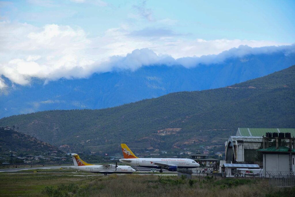
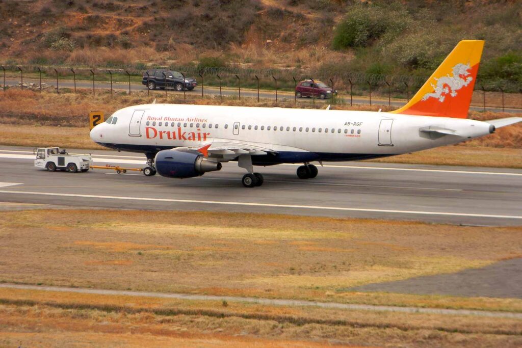
The start of Snowman Trek in Bhutan Arrival at Paro International Airport. Landing at Paro International Airport is an unforgettable experience. As your flight navigates between two mountains, following the Paro River toward the small strip of the airport, the views are mesmerizing. Upon landing, many passengers prefer to take pictures outside rather than rush to the immigration desk, captivated by the beauty of Bhutan. Your guide will be waiting to welcome you.
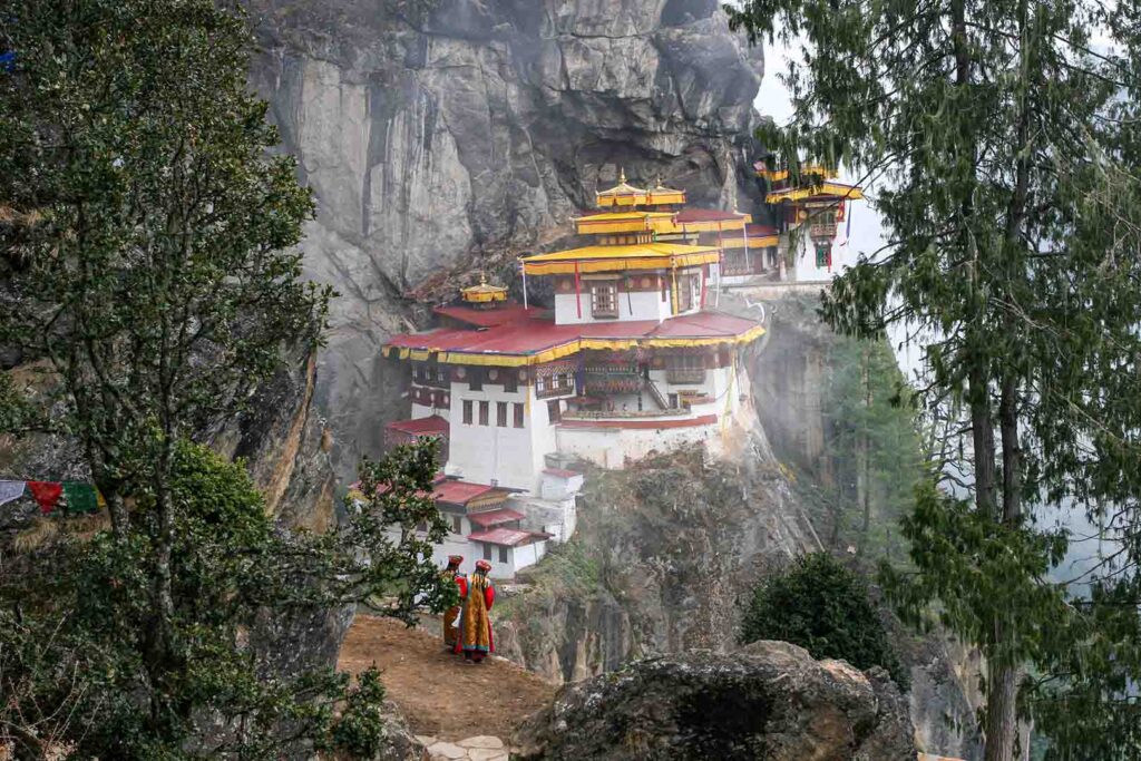
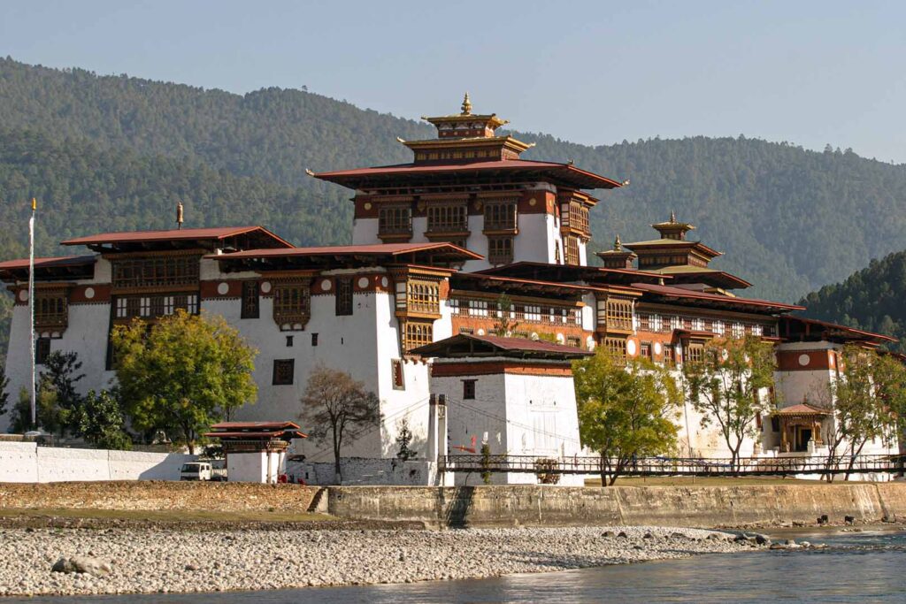
Before starting the Bhutan Snowman Trek, you need time to acclimatize. Today, our guide will take you to Drugyel Dzong (Victory Dzong), one of Paro's most iconic structures. On a clear day, you can see the beautiful snow-capped Jomolhari Mountain. Next, visit the 8th-century Kyichu Lhakhang, followed by Paro Dzong, built in 1646 by Shabdrung Ngawang Namgyel. In the evening, enjoy leisure time in the small town of Paro. Your guide will brief you about the trek starting the next day.
Distance: 17Km
Walking time: 5 to 6 Hours
Max Altitude: 2820m
Ascent: 360m
Descent: 80m
Camping Altitude: 2820m
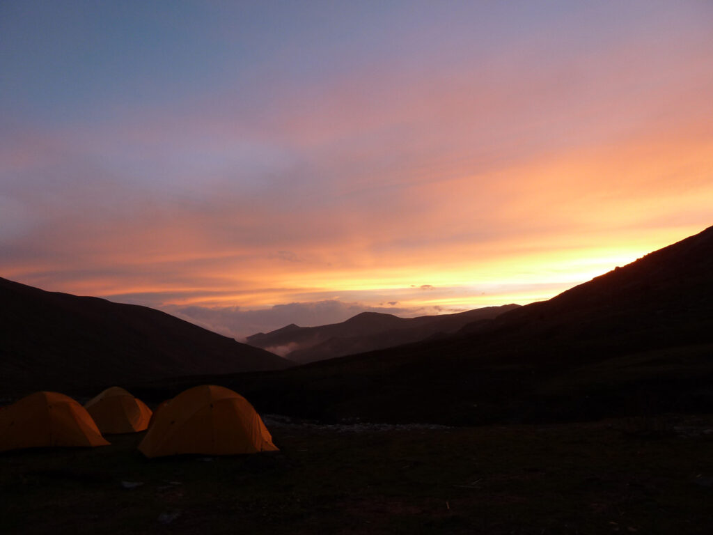
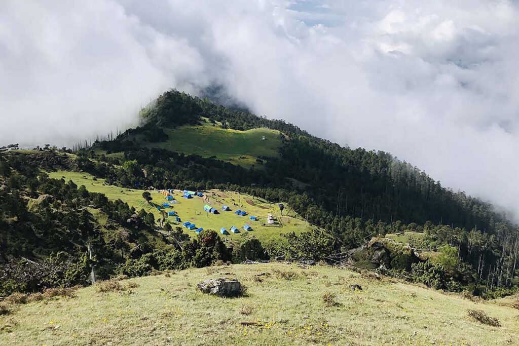
Today, we begin one of Bhutan's longest and most challenging treks. Before setting off, we pray for a safe and successful journey. Starting from Drugyel Dzong, we follow the Paro River, eventually camping at Shana, which sits at an altitude of 2,820 meters. We cover 14 kilometers, trekking for about 5 to 6 hours.
Distance: 21Km
Walking time: 8 Hours
Max Altitude:
Ascent: 770m
Descent: 10m
Camping Altitude: 3610m
Our fourth day of trekking from Shana to Thangthangka is spectacular. The trail follows the Paro River through beautiful forests, passing a few isolated nomadic huts. The route reaches a junction where another path leads to Tremo La and Tibet. We camp here at the junction in a meadow with a stone shelter, at an altitude of 3,610 meters. This leg covers 21 kilometers and takes about 8 hours to complete.
Distance: 15Km
Walking time: 6 Hours
Max Altitude: 4115m
Ascent: 480m
Descent: 1090m
Camping Altitude: 4115m
Today's route offers a unique experience. After crossing the army post and presenting your permit, you'll gradually ascend into a beautiful valley, passing Tegethang, the winter home of yak herders. Expect to see many yaks as you approach the base of the stunning Jomolhari Mountain.
You'll also encounter the ruins of an old fortress, once used to guard Bhutan against Tibetan invasions. We'll camp at the base of Jomolhari Mountain at an altitude of 4,115 meters. This leg covers 15 kilometers and takes about 5 to 6 hours of leisurely trekking.
Today, you'll rest at the campsite and enjoy the stunning 360-degree view of Jomolhari Mountain. If you're feeling energetic, you can explore the area with beautiful day hikes. One highlight is the hike to Tshophu Lake, about a 1.5-hour walk from Jangothang. The lake is well-stocked with brown trout, so if you're a fisherman, be sure to bring your gear. This day is optional, allowing you to relax or explore as you wish.
Distance: 18Km
Walking time: 8 Hours
Max Altitude: 4700m
Ascent: 840m
Descent: 870m
Camping Altitude: 4000m
The day begins with following the steam for half an hour before crossing the bridge to right side which climbs up to the first ridge of amazing view of Mt.Jumolhari(7316m),Mt. Jichu Drakey (6714M) and Mt. Tserim Ghang. Walk further towards flat valley until the you climb Nyila Pass (4700m). After the pass Gradual descent to Lingshi Camp. Here you also come across local villagers and view of Lingshi Dzong. Campsite altitude is 4000m. Walk time is 7 to 8 hours depending upon the fitness of the clients.
Distance: 10Km
Walking time: 6 Hours
Max Altitude:
Ascent: 280m
Descent: 400m
Camping Altitude: 3850M
Today is a very easy and pleasant walk through villages and Yak Herder’s camp. Your lunch will be served at Goyuna village which is very scenic. After lunch you reach Chebisa village and people here are very friendly. We camp here by the side of the stream at an altitude of 3850m. Walking time is 5-6 hours.
Distance: 17Km
Walking time: 8 Hours
Max Altitude: 4500m
Ascent: 890m
Descent: 540m
Camping Altitude: 4160m
You day starts with steep climb up towards Gubula Pass at an altitude of 4500m taking 4 hours hard walk. After reaching the top descend the trail through beautiful rhododendrons forest. Continue to follow the stream until you reach at the campsite. You may come across Yak Herders and wild blue sheep of the Himalayas. Walking time is 7 to 8 hours. Camping at 4160m.
Distance: 18Km
Walking time: 9 Hours
Max Altitude: 4600m
Ascent: 700m
Descent: 760m
Camping Altitude: 4400m
Starts with a steep climb to Jarila Pass at an altitude of 4600m. Descend to Tsharijathang one of the most beautiful and broad valleys. This valley is also the summer residence of Wild Himalayan Takin. Lunch shall be served here and further walk towards the campsite. Cross stream and towards the left the trail ascends till you reach the Robluthang Campsite at an altitude of 4400m. Walking time to 8 to 9 hours.
Distance: 19Km
Walking time: 6 to 7 Hours
Max Altitude: 4160m
Ascent: 850m
Descent: 870m
Camping Altitude: 4100m
Everyday you will be climbing the pass and today you shall cross Shinje La pass(4900m). The view from the pass is amazing. The descend towards Limithang is quite narrow but you will be rewarded with beautiful view of Mt. Gangchey Ta Peak(6794m) on the last part of the trek. Arrival campsite is 4100m.
Distance: 10Km
Walking time: 6 Hours
Max Altitude: 3800m
Ascent: 60m
Descent:340m
Camping Altitude: 3800m
Your morning will be welcomed by the majestic view of Mt. Gangchey Ta peak in front of you. Today you shall be greeted by the nomadic herders of Laya. Laya is the second highest settlement in the country. Camp site is near by the local village house. Campsite at 3800m. Walking time is 5 to 6 hours.
Walking time: Relax Day
Max Altitude: 3800m at Laya
Camping Altitude: 3800m
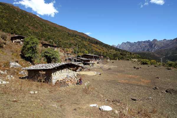
Explore the village. The Laya village consists of around 800 people. They have different dresses and the language they speak is different. The government is doing everything to protect the tradition and culture of this small Northern village. They are the tribal people of Bhutan.
Distance: 14.5Km
Walking time: 8 to 9 Hours
Max Altitude: 4350m
Ascent: 975m
Descent: 70m
Camping Altitude: 4350m
Start your journey from Laya. You will come across beautiful girls working in their field and they may wave their hand to say goodbye. Descend to army camp and follow the river towards the left. Continue the climb through rhododendron bushes until the camp. Altitude 4,350m. Walking time 8-9 hours.
Distance: 36Km
Walking time: 10 to 11 Hours
Max Altitude: 5080m
Ascent: 725m
Descent: 1200m
Camping Altitude: 3980m
Today is the longest day trek crossing two pass of Tsimola(4700m) and Gangla Karchula Pass(5080m). We start as early as 5 in the morning because it’s 10 to 11 hours of trek. The route offers a view of Lunana Village and a close view of Mt. Jumolhari and Mt. Jichu Drake.
The whole range of mountains, including Masagang, Tsendegang, and Teri Gang can be seen, after the pass, there is a very long descent to Tarina valley. Altitude 3,980m. Walking time 10-11 hours.
Distance: 17Km
Walking time: 6 to 7Km
Max Altitude: 3910
Ascent: 270m
Descent: 330m
Camping Altitude: 3800m
The trek is easy today as the path follows the river downhill. The lunch point is at 3500m and after lunch climb 300m towards the small village of woche. Camp at 3800m and walking time is 6 to 7 hours.
Distance: 17Km
Walking time: 6 to 7 Hours
Max Altitude: 3700m
Ascent: 980m
Descent: 1190m
Camping Altitude: 3650m
The day begins through juniper and fir forest and rhododendron bushes. Another climb to Kechila Pass(4480m) offers a great view of snowcapped mountains. After the pass, descend to the river walking through the village with stunning views of Table Mountain and others. Follow the river, one of the main sources of Phochu, till Lhedi village. Altitude 3,650m.
Distance: 17Km
Walking time: 7 to 8 Hours
Max Altitude:
Ascent: 450m
Descent: 0
Camping Altitude: 4000m
The trek continues following the river, rising gradually to Choejong village. After lunch visits the Choejong dzong and continues towards the wide valley. Cross the bridge to reach Thanza camp 4,000m. Walking time 7/8 hours.
The trek starts with climb up to the ridge with great view of the Table Mountain and Thanza valley below, The ridge altitude is 4,500 m and rises gradually up to 4,650m near by the foot bridge. After lunch walk up towards the left side of the bridge enjoying the views of the snow peaked mountains. Climb up ridge after ridge until you reach the camp at Tsorim at the altitude of 5, 150m. Then down to the camp at 5125m. Walking time 8-9 hours.
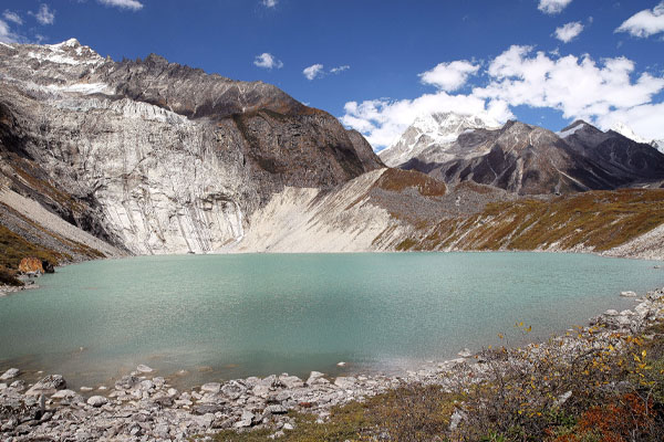
This is the highest of the trip and we start the day with a short climb to the Tshorim lakes. Walk on the side of the lake enjoying the panoramic views of the Gophula ranges. The last climb to Gophula pass (5,230m) is very short. After the pass descend to the base camp walking along the ridge. Enjoy the great view of Gangkar Puensum. Those with a lot of energy can divert to the left side to climb up the Pyramid Peak for better view. Others can go down to the base camp nearly Sha Chu at the altitude of 4,970m. Walking times 6-7 hours.
Rest Day at Gangkar Puensum. One of the highest unclimbed mountains of Bhutan. Gangkhar Puensum lies on the border between Bhutan and Tibet. After Bhutan was opened for mountaineering in 1983, there were four expeditions that resulted in failed summit attempts in 1985 and 1986.In 1999, a Japanese expedition successfully climbed Liankang Kangri, a 7,535 metres (24,721 ft) subsidiary peak (not an independent mountain), separated from the main peak by a 2 kilometres (1.2 mi) long ridge to the north-northwest but had to turn around when their permit was revoked.
In 1994 Bhutan banned the climbing of peaks over 6,000 metres and since 2003, all mountaineering has been banned in Bhutan. This approach of protecting nature as it is makes the Bhutan wonderfull to visit and worth paying.
Time to leave the beautiful mountains, but the trek is far from over. The path follows the Sha Chu and descends gradually to Geshe woma at the altitude of 4,200m. Walking time 6-8 hours.
The path continues following shachu for two and a half hours until the stiff climb to Sakala begins. Visibility along the Sakala trail is poor so one must watch the top of the ridge for guidance. Lunch nearby a yak herder’s camp. After lunch climb up to Sakala pass at the altitude 4,800m. Descend to the lakes and another short ascent to Wartangle pass (4,590m). The scenery once again is stunning with small lakes and mountain peaks. Camp at the altitude of 4,000m. Walking time 8-9 hours.
A short half hour climb to Juelela (4,400m). After the pass descend to the riverside through dense rhododendron, juniper and conifer forest. After the bridge a little climb to Dur Tsachu hot spring, where Guru Padmasambava is supposed to have bathed in the 8th hot spring. Walking time 5 hours.
Today we go across the last pass of the trip (Juelela pass). From the stream it is along and steady climb again with great views of the mountains in Lunana. One comes blue lakes and yak herders camps to arrive at the Thochechen camp at an altitude of 3,850m. Walking time 8-9 hours.
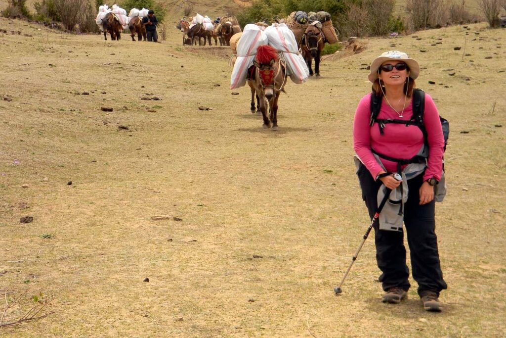
This is the last day of the trek. Here we change from yak to pack ponies for carrying trekking gear. The path follows the Chamkhar Chu, descending gradually with few climbs. The trek ends when you arrive at Dhur village.
Start early to visit some of the famous monasteries in Bumthang and drive to Trongsa (70km) for lunch at local hotel. After lunch drive to Wangdi (130km) via Pelela. Overnight at the lodge.
On the way visit Dochula Pass over looking ranges of Mountain. Get a cup of hot coffee and enjoy the view of the Himalayas.
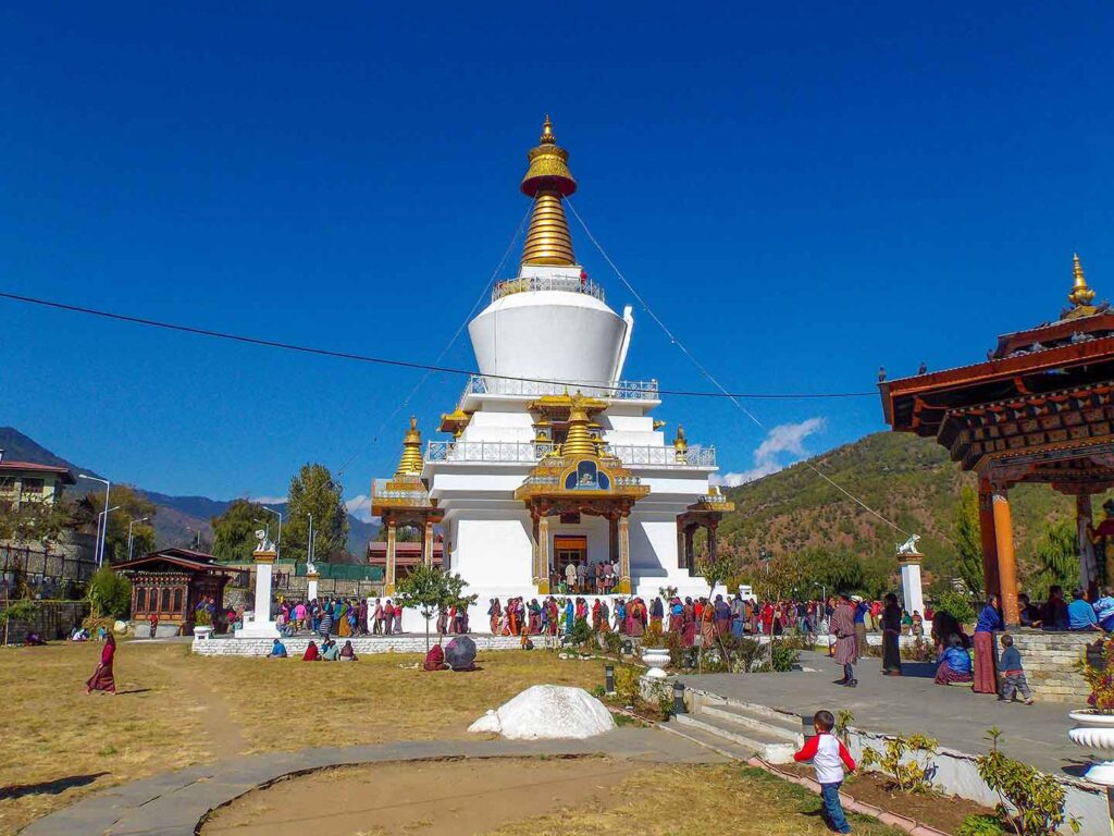
Thimphu Tour includes visit to weekend Market, Simply Bhutan Museam and most popular Bhudha Statue.
Your Snowman Trekking ends today. Our team from Tour Bhutan will see you off. The drive takes about 1 hour from thimphu to Paro International airport.

