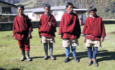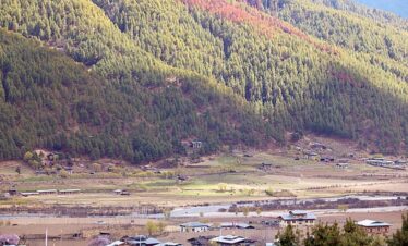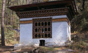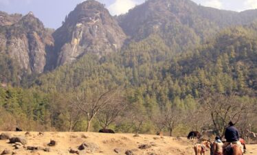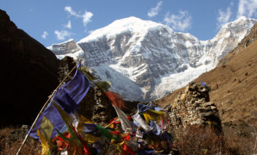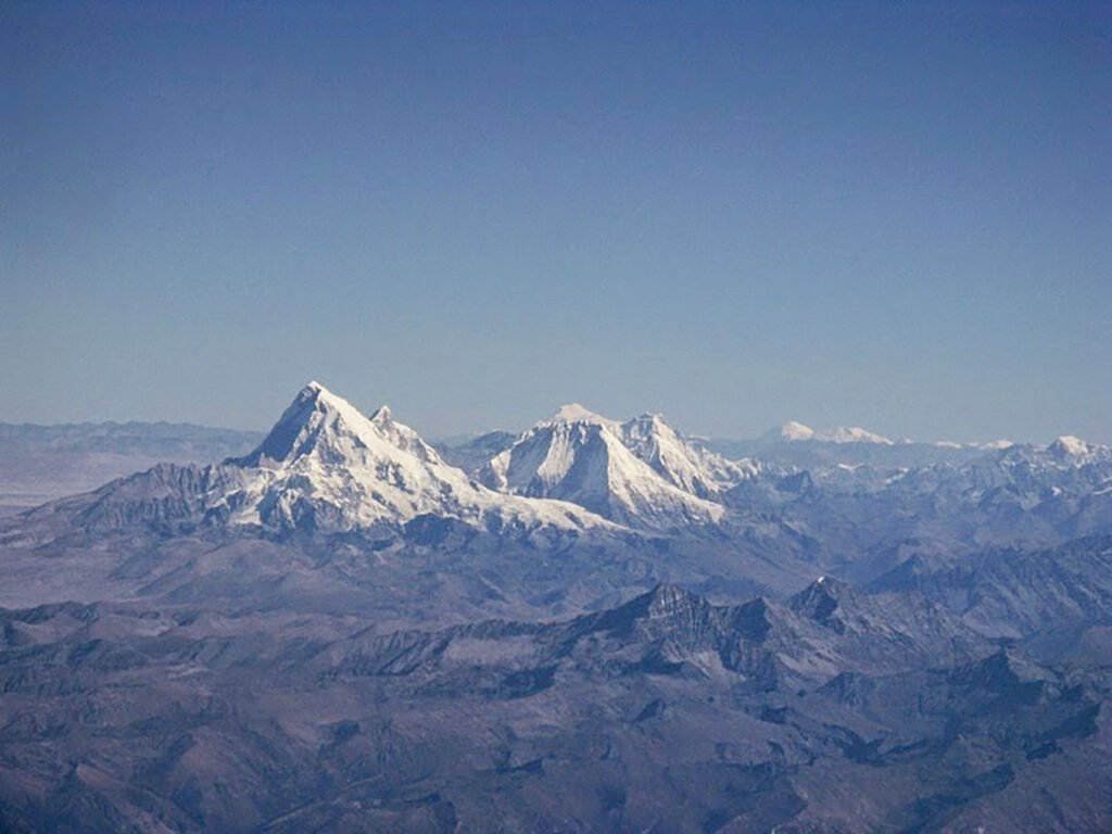
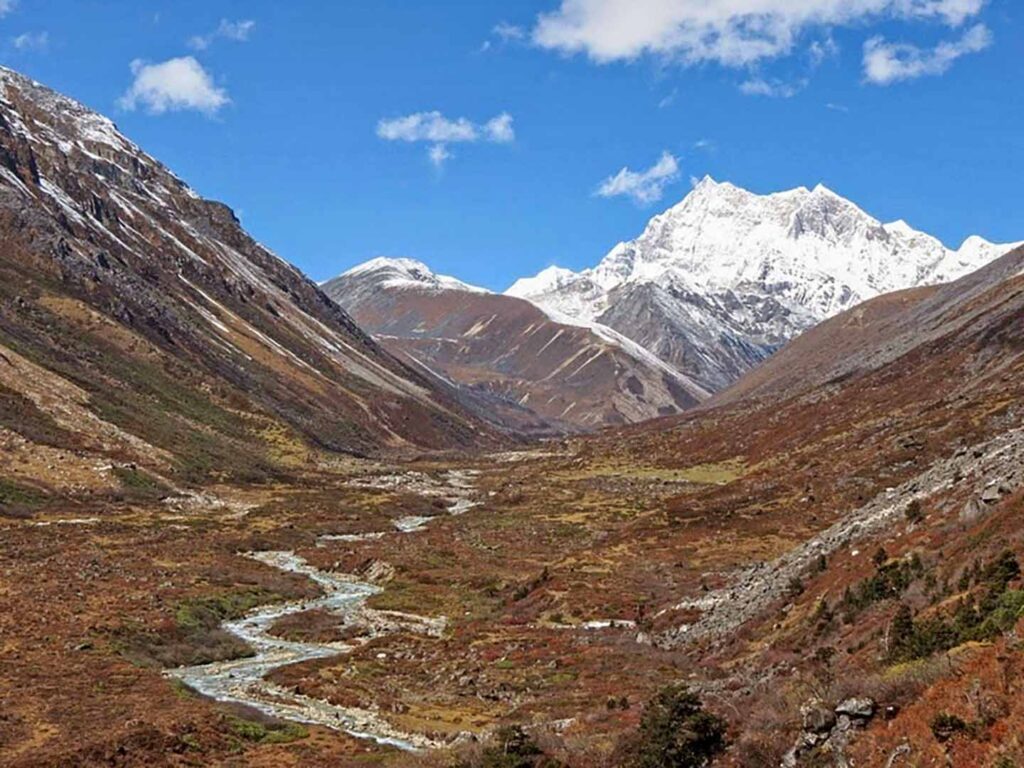
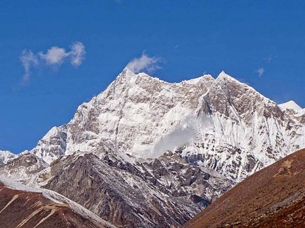
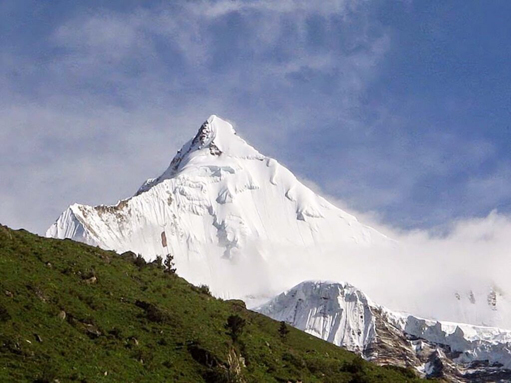
The 21-day Gangkar Puensum Trek is a high-altitude trek that will lead you to the uncharted territory of this mountain giant. It will take you on a trek on rugged terrain, and you will venture into unexplored mountainous terrain where you will see breathtaking landscapes and gorgeous views of Mt Gangkar Puensum all along.
Gangkar Puensum Trek Overview
- Duration: 21-day trek
- Trek Route: Punakha, Limukha, Samtengang and Thimphu
- Guide: Trek Guide
- Difficulty: Hard
- Best Time to Trek: Autumn Season
- Maximum Alt: 5230m above sea level
- Tour Type: Private
- Daily Walk: 5 to 7 hours
Gangkar Puensum Trek Outline Itinerary
- Day 01 Arrival at Paro International Airport. Altitude 2300M.
- Day 02 Paro City Tour. Altitude 2300M.
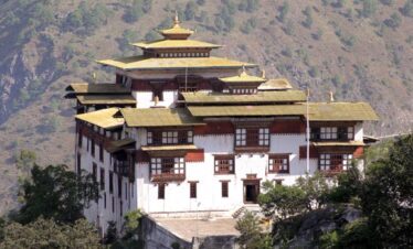
- Day 03 Paro to Thimphu City Tour. Distance 60KM | Driving Time 1 Hour.
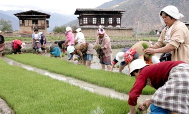
- Day 04 Thimphu to Punakha Tour. Distance 72 km | Driving Time 3 Hours
- Day 05 Punakha to Damji to Gasa. Distance 59KMtill Damji | Driving Time 2 Hours 12 Minutes | Walking time 2/3 hours from Damji to Gasa.
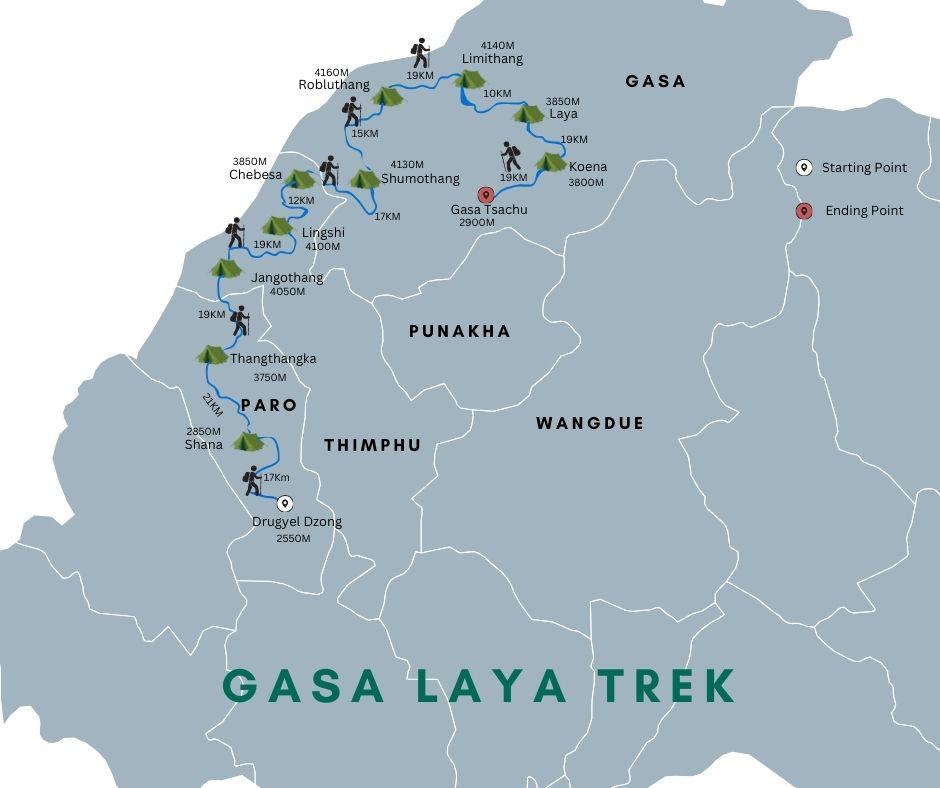
- Day 06 Gasa to Koina.Distance 16KM | Walking Time 5 Hours | Altitude 3050M.
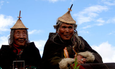
- Day 07 Koina to Laya. Distance 19Km | Walking time 6/7 Hours | Altitude 2800M.
- Day 08 Rest Day at Laya Village. Altitude 2800M.
- Day 09 Laya to Rodophu. Distance 19Km | Walking time 6/7 Hours | Altitude 4160M.
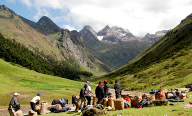
- Day 10 Rodophu to Tarina. Distance 36 Km | Walking time 10/11 Hours | Camping Altitude 3980M.
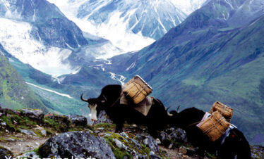
- Day 11 Tarina to Woche. Distance 17 Km | Walking time 6/7 Hours | Camping Altitude 3800M.
- Day 12 Woche to Lhedi. Distance 17Km | Walking time 6/7 Hours | Camping Altitude 3650M.
- Day 13: Lhedi to Thanza. Distance 17 Km | Walking time 6/7 Hours | Camping Altitude 4000M.
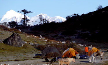
- Day 14: Thanza to Tsorim. Distance 17Km | Walking time 6/7 Hours | Camping Altitude 5125M.
- Day 15: Tsorim to Gangkar Puensum. Distance 17Km | Walking time 6/7 Hours | Camping Altitude 4970M.
- Day 16: Gangkar Puensum Base Camp. Altitude 4970M.
- Day 17: Base Camp to Gese Woma. Distance 18Km | Walking time 7/8 Hours | Campong Altitude 4200M.
- Day 18: Gese woma to Warathang. Distance 18 Km | Walking time 7/8 Hours.
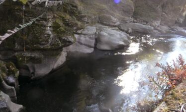
- Day 19: Warathang to Dur Tshachu. Distance 14Km | Walking time 4/5 Hours.
- Day 20: Dur Tshachu to Tshochenchen. Distance 17Km | Walking time 7/8 Hours | Altitude 3100M.
- Day 21: Tshochenchen to Jakar Bumthang. Distance 8Km | Walking time 4/5 Hours | Altitude 2800M.
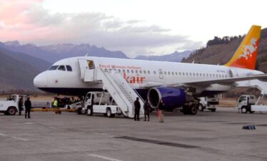
- Day 22: Bumthang to Paro via Domestic Flight. Flight time 20 to 30 Minutes | Altitude 2300M.
- Day 23: Paro to the airport and See Off. Altitude 2300M.
Why book this trek with us?
- 100% Guaranteed Bhutan Visa
- No Hidden Cost
- No Booking Fees
- Hand-Picked Hotel
- 24/7 Customer Service
- Best Value for Money
Gangkar Puensum Trek Cost
All our trek costs include a daily SDF of USD 100 per person, camping equipment, a guide, transport, and meals.
- Solo Traveller Cost USD 14950.00
- 2 Pax Group Cost USD 13850 Per Person
- 3 to 4 Pax Group Cost USD 12590 Per Person
The cost of the Trek also depends upon the season, Duration and number of pax
Gangkar Puensum Trek Overview
Similar Tours and Sightseeing in Bhutan
- Snowman Trek II or Snowman Trek in Bhutan
- Laya Gasa Trek
- Visit Bhutan in January and February
- Druk Wangyel Festival
Trek Highlights for Gangkar Puensum Itinerary
- Enjoy the Mighty Himalaya.
- Conquer the highest Mountain of Bhutan.
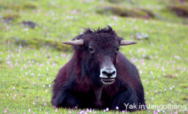
- Enjoy watching blue sheep, Takins and marmot during the Trek.
- Camp at the Highest altitude at Gangkar Puensum Base Camp.
- Camp below the base of the Mountains