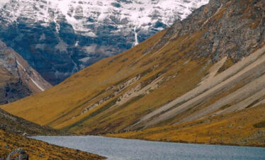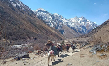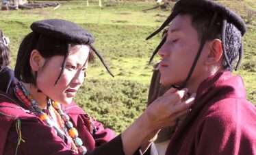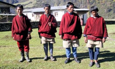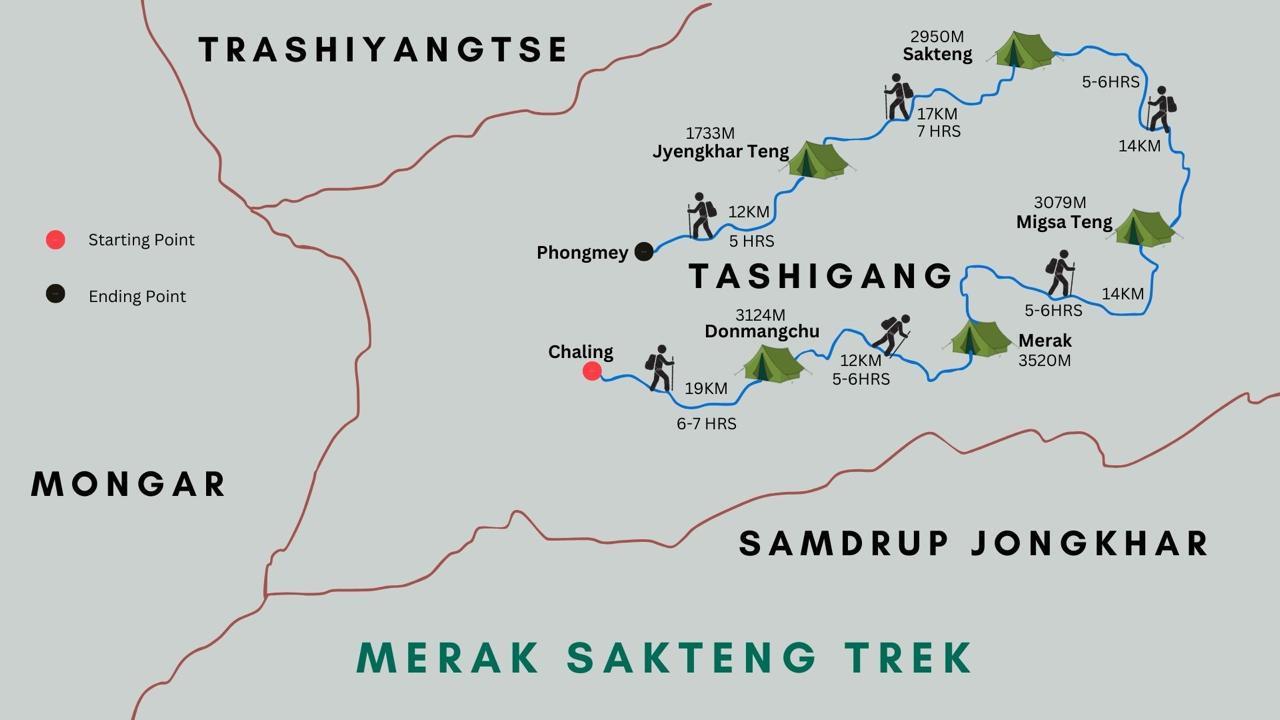
The Term “salt trek route” derives from the purpose it served before the national highway construction from Trashigang to Samdrup Jongkhar. The people of the Eastern Dzongkhags used to make voyages via this route to take salt and silk from the border town of Samdrup Jongkhar. It is an eight-day trek from the day of arrival.
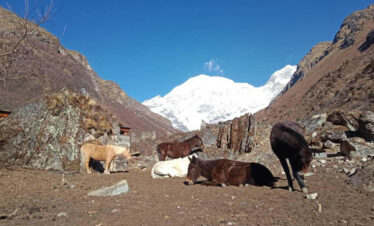
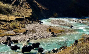
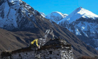
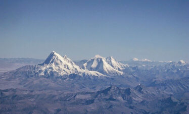
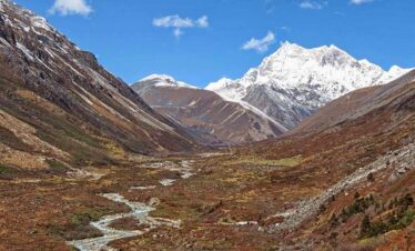
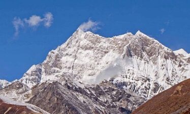
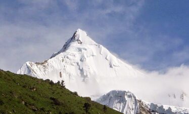
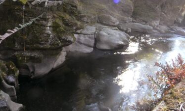
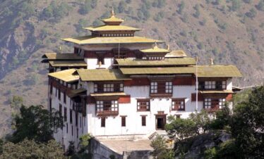
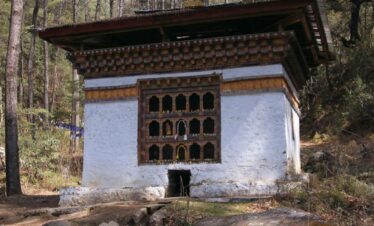
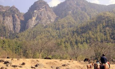
This 8-day trek will take you through pristine broadleaved and pine forests with spectacular views of villages, Tashigang Dzong and mountains amidst the clouds. Although this Nature-based trek route does not lead into really high altitudes, it is tough and involves long, steep descents and ascents. This is one of the most remote treks in Bhutan.
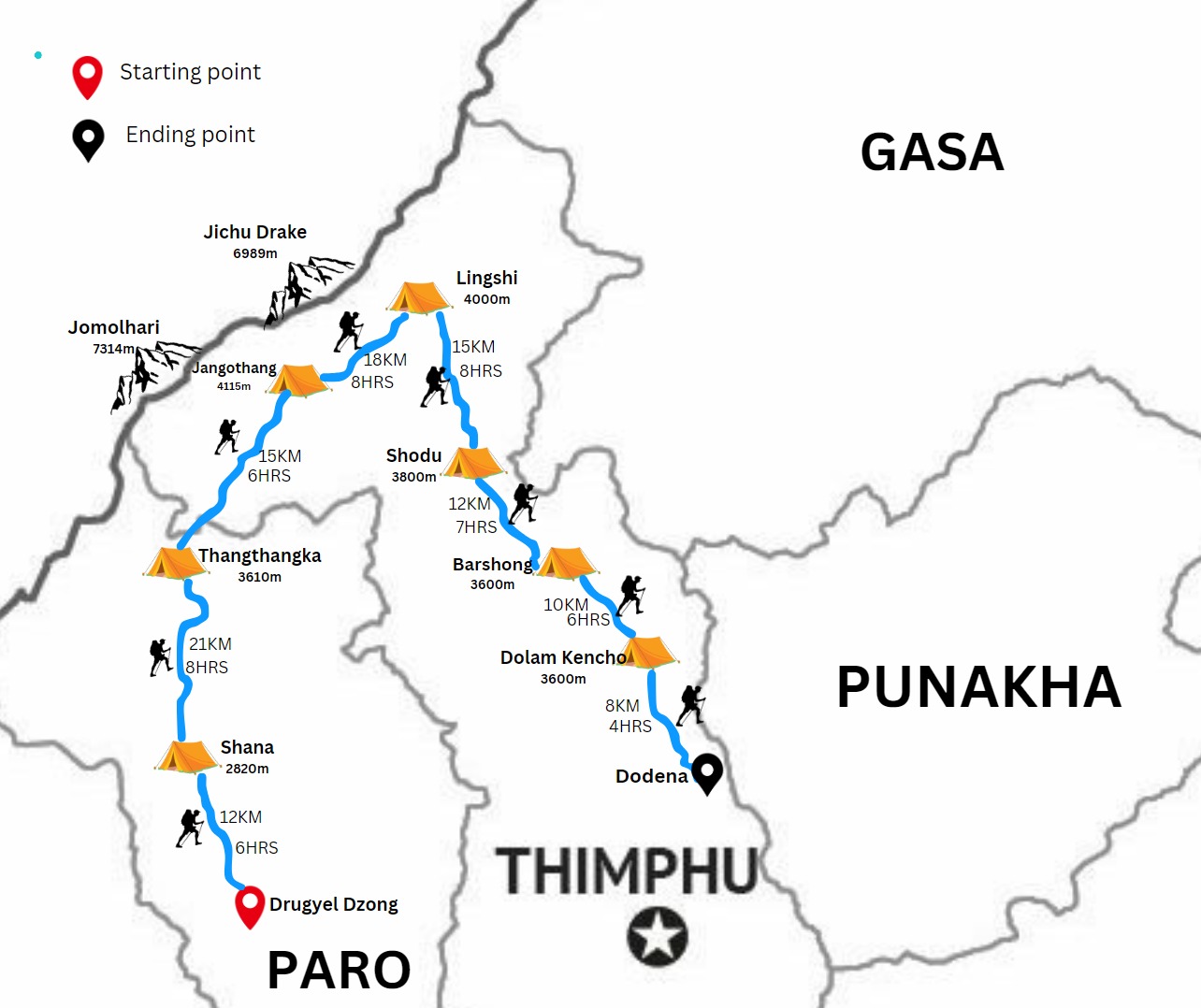
Salt Lake Trek Overview
- Duration: 7-day trek
- Trek Route: Punakha, Limukha, Samtengang and Thimphu
- Guide: Trek Guide
- Difficulty: Easy
- Best Time to Trek: All year round
- Maximum Alt: 2900m above sea level
- Tour Type: Private
- Daily Walk: 4 to 5 hours
Salt Lake Trek Itinerary Overview
- Day 1: Arrival at Guwahati and Drive to Samdrupjongkhar. Distance- 98Km | Alt 55.5M above Sea Level | Driving Time 2.5 Hours
- Day 2: Samdrupjongkhar to Nalang. Distance- 7 Km | Alt 750 m | Walking Time 3 to 4 Hours
- Day 3: Nalang to Rangdiphu. Distance. Distance- 6 Km | Alt 750 m | Walking Time 3 to 4 Hours
- Day 4 Rangdiphu to Mongling. Distance- 8 Km | Alt | Walking Time
- Day 5 Mongling to Demrizam. Distance- 7 Km | Alt | Walking Time
- Day 6 Demrizang to Demchung. Distance- 8 Km | Alt | Walking Time
- Day 7 Denchng to Chiya. Distance- 7 Km | Alt | Walking Time
- Day 8 Cheya to Trashigang. Distance- 6 Km | Alt | Walking Time
- Day 9 Trashigang to Guwahati Airport. Distance- 98 Km | Alt | Driving Time 3 Hours
Salt Trek Cost
All our trek costs include a daily SDF of USD 100 per person, camping equipment, a guide, transport, and meals.
- Solo Trek Cost: USD1840
- 2 Pax Group Trek Cost: USD 1800 per person
- 3 to 4 Pax Group Trek Cost USD 1620 per person
The cost of the Trek also depends upon the season, Duration and number of pax
Salt Trek Overview
The Best Time to Trek
The Trek route is considered all year round destination. It can be done.
Similar Trek and Tours of Bhutan
Trip Highlights
- Explore the Ancient salt route of Bhutan.
- Visit the Business Hub of the east.
- Enjoy the beautiful birds-eye view of Deothang.