It is a 12-day program with a 9-day actual trek in eastern Bhutan that is tough and involves a tremendously long, steep descent. Though it was an important trade route before the National Highway was built, few people travel this way anymore but offer a chance to visit the remote dzong.
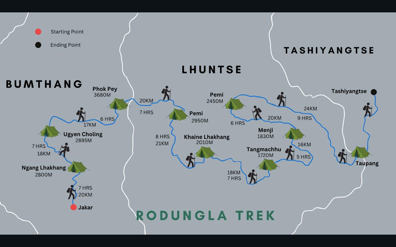
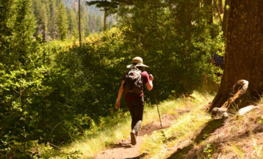
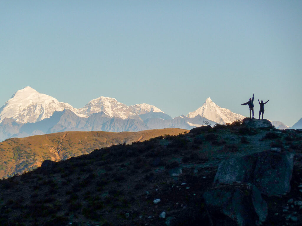
The Rodungla Trek is a popular trekking route in Bhutan that offers stunning views of the Himalayas and takes visitors through remote villages, pristine forests, and high-altitude lakes. The trek typically takes 6-7 days to complete and covers a distance of approximately 60 km.
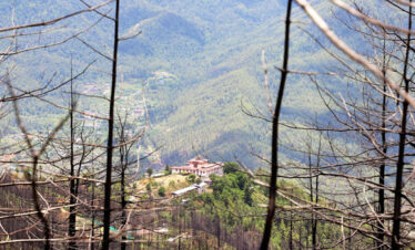
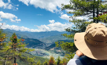
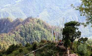
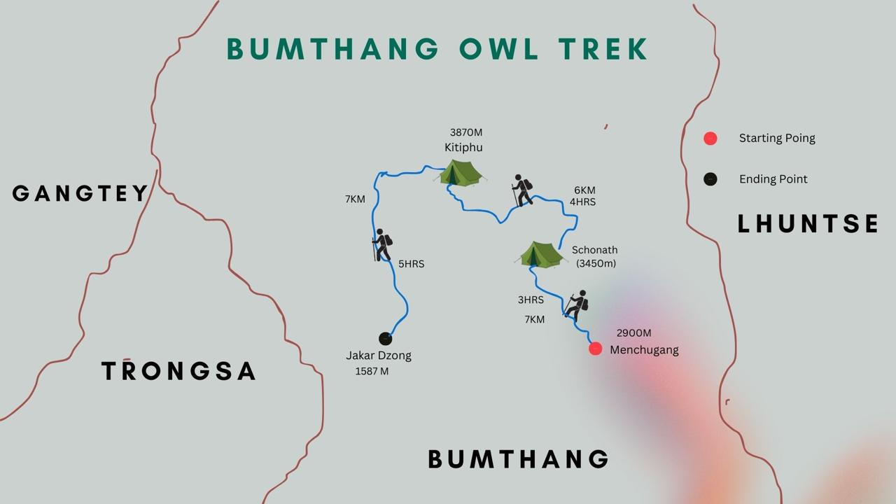
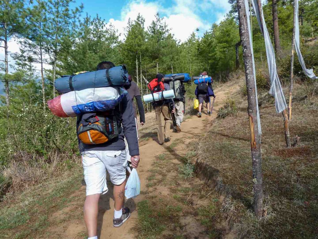
The trail passes through alpine and bamboo forests, meadows, and mountain passes, through villages and temples offering hikers an incredible array of biodiversity to appreciate. The trek can be covered in 10 days but we can shorten it as per the client’s needs.
Rodungla Trek Over View
Best Time to Trek Rodungla
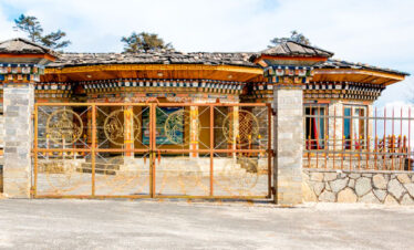
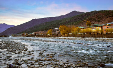
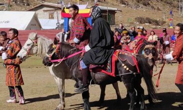
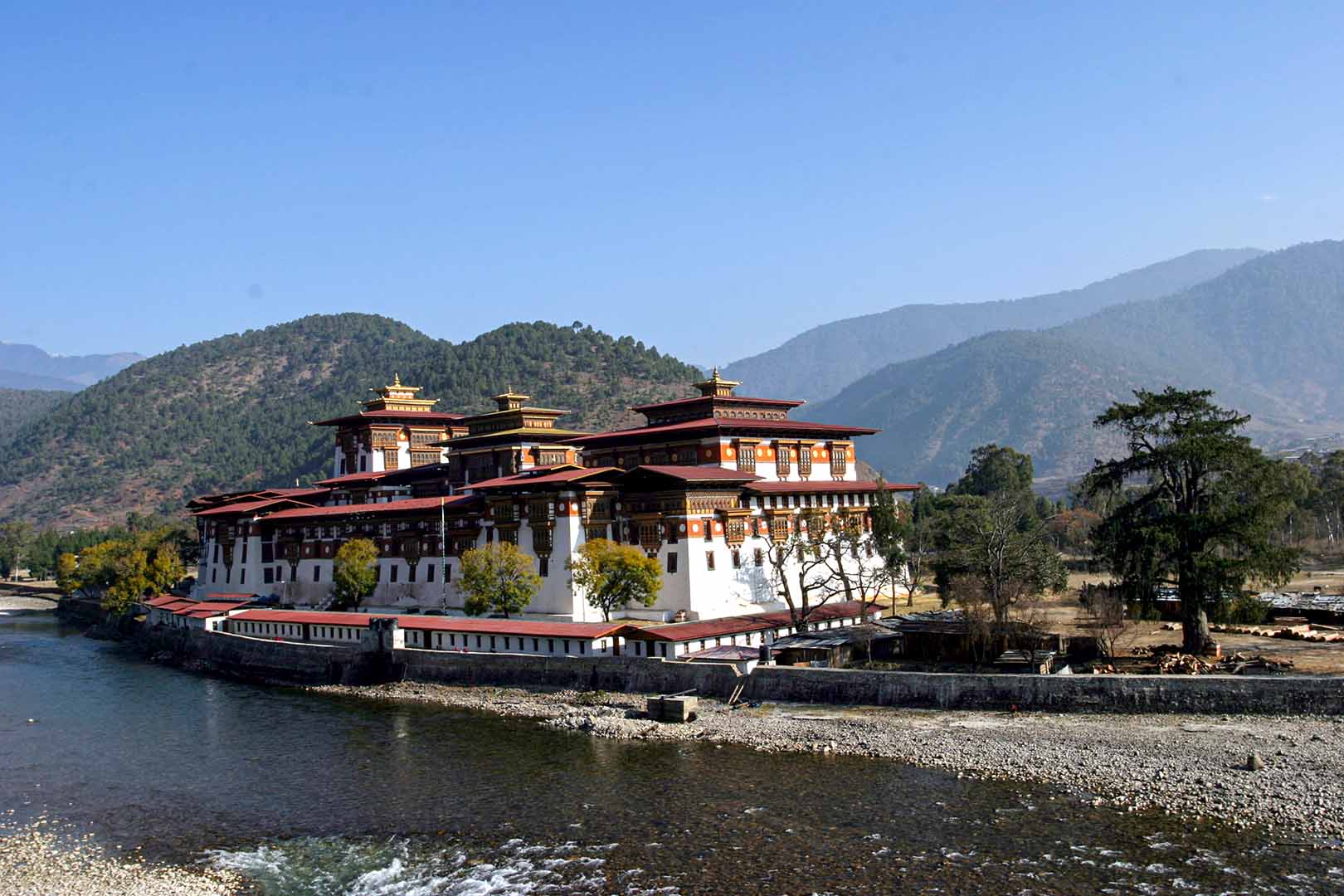
The best time to Trek Rodungla is Spring, from March to June, and autumn, from September to December. This time of the year has a favourable climate and offers scenic beauty during the wild flowering season. Visit traditional Bhutanese villages like Tashi Yangtse and Bumthang, where you can experience the local way of life.
Trek Difficulty
- High, requiring good physical fitness and prior trekking experience.
- Typically 10-12 days, covering approximately 95 kilometres.
Similar Attraction in Bhutan for Trekking
Trip Highlights
- New Introduced Trekking Routes.
- It Covers wild eastern Bhutan for the first time.
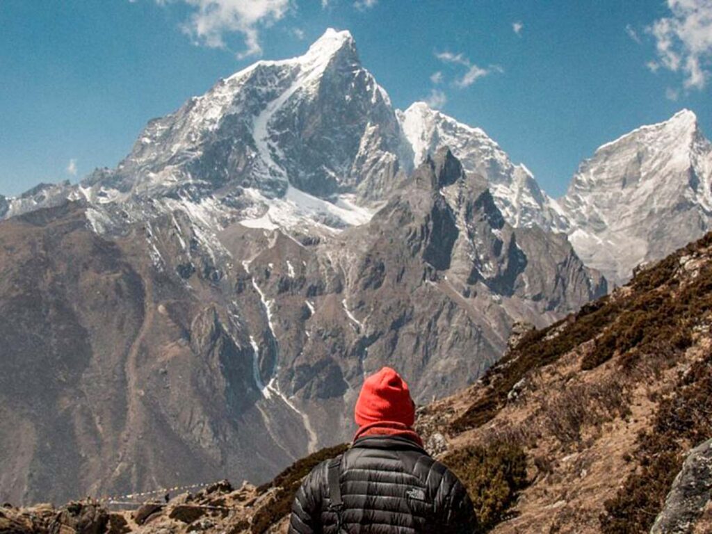
- The most Beautiful trek in eastern Bhutan.
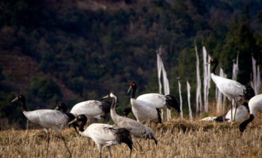
- Encounter diverse wildlife and plant species, including the elusive blue poppy, Bhutan’s national flower.
- The trek is a paradise for birdwatchers, with opportunities to spot various Himalayan birds.
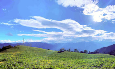
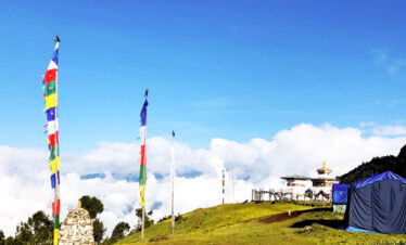
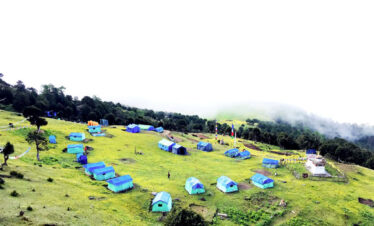
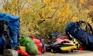
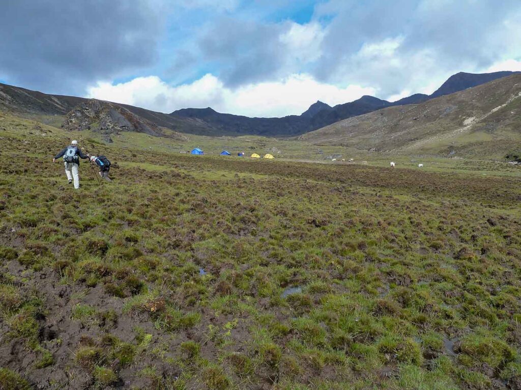
- Enjoy camping in some of the most pristine and untouched natural settings, away from the hustle and bustle of modern life.
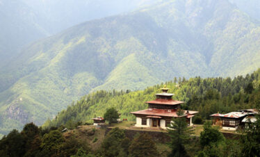
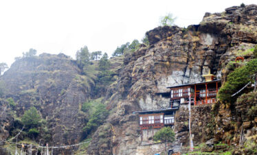
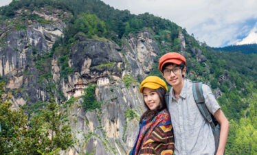
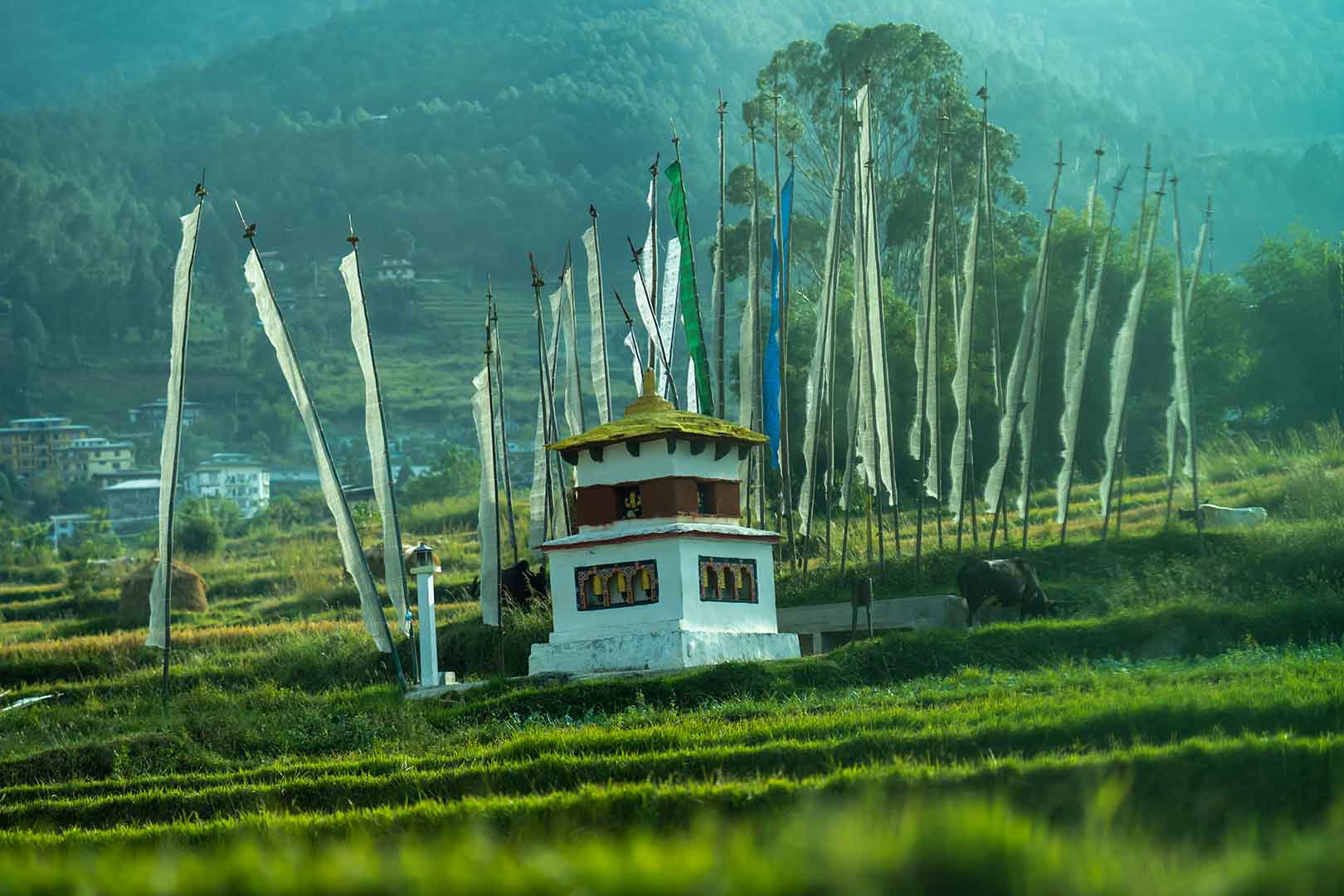
- Explore ancient monasteries and temples, gaining insights into Bhutan's spiritual traditions.