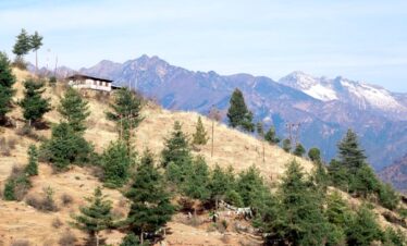
The Trek is the most difficult in Bhutan, it crosses about 11 high passes and takes about 29 days to complete the trek. This Trek starts from Paro and ends in Bumthang Dur. We have two routes to complete the snowman Trek. The one ends in Sephu Wangdi, which is the Snowman Trek I and a little shorter than this route.
Highlight for The Snowman Trek II:
- Trek Duration: 29 days (standard options with Cultural Tour).
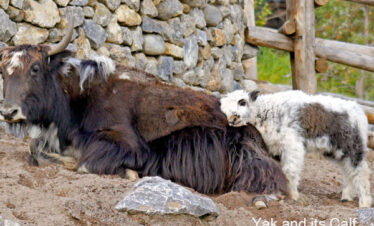
- Highlights of Snowman Trek II: Exploring high altitude lake, blue sheep, Snow leopard, crossing 11 high passes and yak on the way.
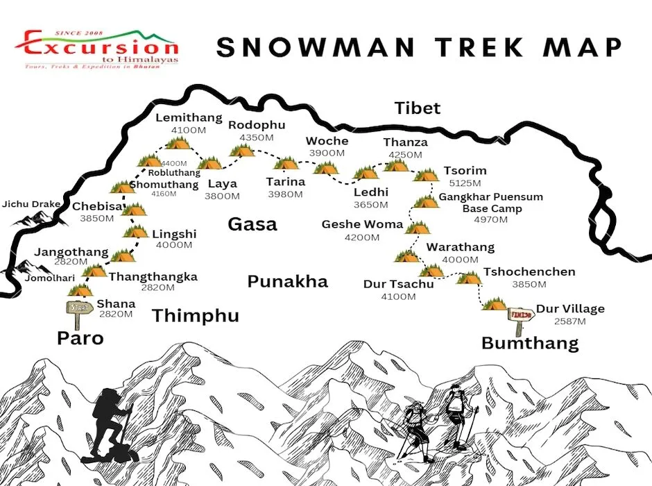
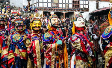
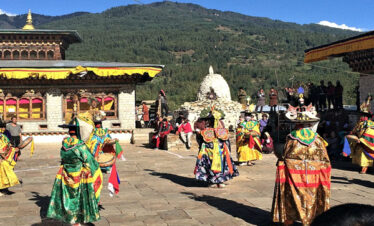
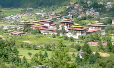
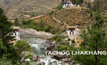
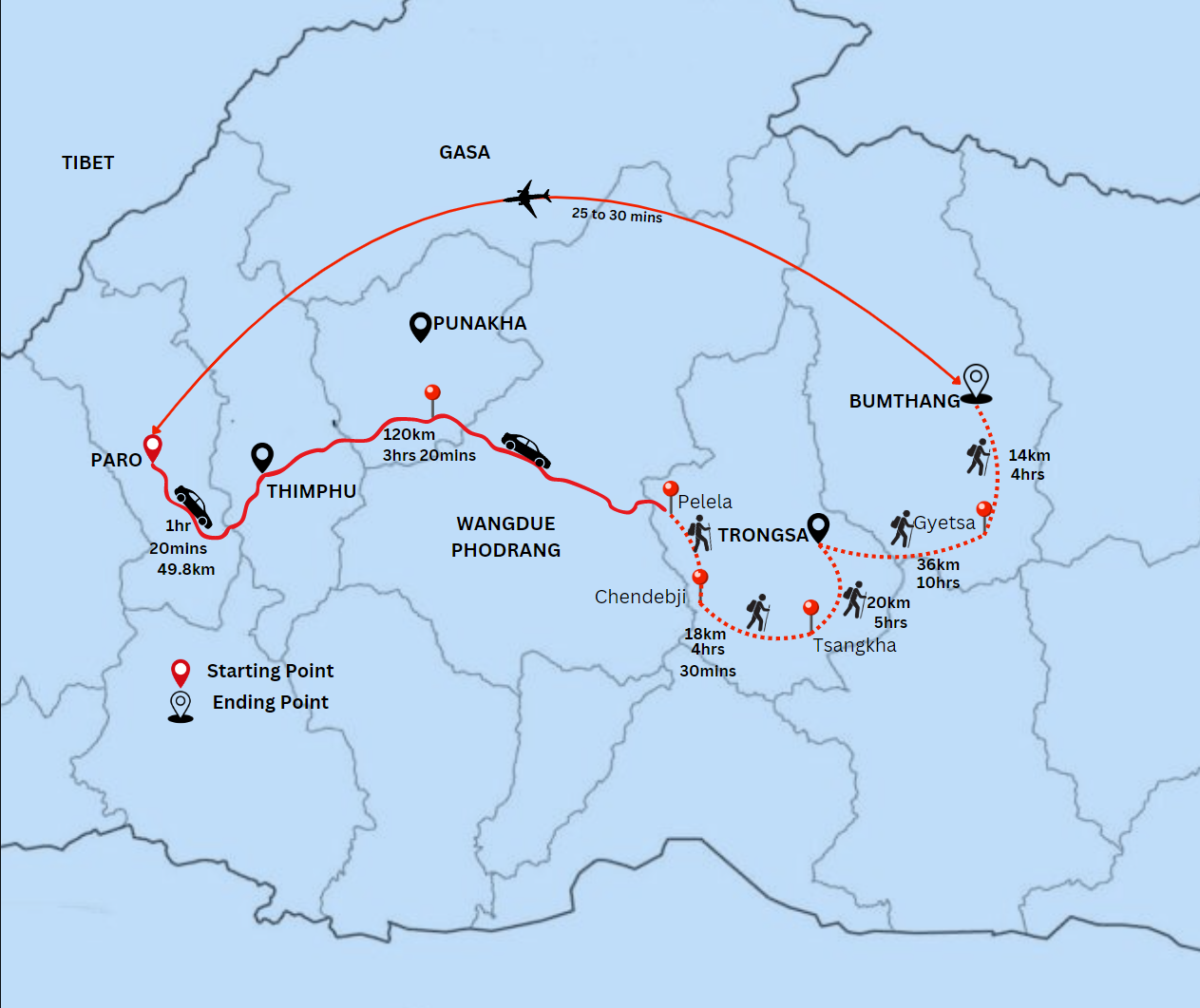
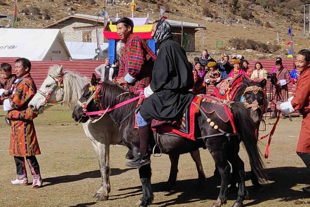
- Snowman Trek Route: Paro (Rinpung Dzong), Thimphu (Capital) via Labana, Janaytsho, Phajoding to Thimphu, Punakha (Punakha Dzong), and Tiger’s Nest hike.
- Experience Type: Cultural immersion, photography, trekking to high-altitude lakes and Passes.
- Best Time to Book: At least 3 months or two before the trek begins.
- Best Season to Trek Snowman: Snowman trek has only 4 months trekking season, starting from the end of September to November
- Total Trek Distance: 300 KM/186 Miles
- Maximum Altitude: 5200M
- Difficulty: Difficult, and good fitness is required.
Snowman Trek Highlight
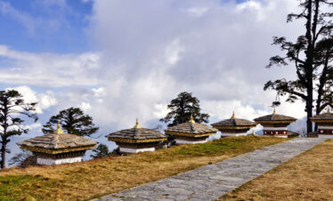
- Cross the highest 11 passes during the trek in Bhutan.
- Challenge yourself on one of the longest 180-mile trekking in Bhutan.
- Starts from Paro and ends in Bumthang.
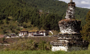
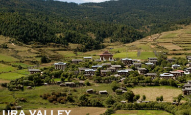
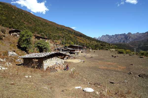
- Crosses the remote and tribal village of Laya, Lunana and ends at central Bhutan
The Snowman Trek II Itinerary Overview
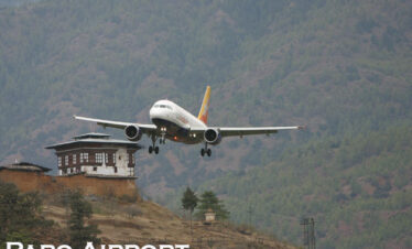
- Day 1 Arrival at Paro International Airport. Altitude 2300M.
- Day 2: Relaxation and Acclimatisation at Paro Valley
- Day 3 Start Trek from Paro to Shana. Distance 17 km | Walking Time 6/7 Hours. Camping Alt 2870M.
- Day 4 Shana to Thathangka. Distance 22 km | Walking Time 8/9 Hours | Camping Alt 3610 M.
- Day 5 Thathangka to Jangothang. Distance 19Km | Walking Time 7/8 Hours | Camping Alt 4040M.
- Day 6 Jangothang Halt and relax. Altitude 4115M.
- Day 7 Jangothang to Lingshi. Distance 18 km | Walking Time 6/7 Hours | Camping Altitude 4010M.
- Day 8 Lingshi to Chebisa. Distance 12Km | Walking Time 4/5 Hours | Camping Altitude 3850M.
- Day 9 Chebisa to Shomuthang. Distance 17Km | Walking Time 6/7 Hours | Camping Altitude 4250M.
- Day 10: Shomuthang to Robluthang. Distance 18Km | Walking Time 6/7 Hours | Camping Alt 4200M.
- Day 11 Robluthang to Limithang.Distance 19 km | Walking Time 7/8 hours | Camping Altitude 4140M.
- Day 12 Limithang to Laya. Distance 10Km | Walking Time 3/4 Hours | Camping Alt 3850M.
- Day 13: Explore Laya Village. Altitude 3800M.
- Day 14 Laya to Rodophu. Distance 19Km | Walking Time 7/8 Hours | Camping Alt 4350M.
- Day 15 Rodophu to Tarina. Distance 36Km | Walking Time 10/11 Hours | Camping Alt 3980M.
- Day 16 Tarina to Woche. Distance 17 km | Walking Time 6/7 Hours | Camp Altitude 3800 M.
- Day 17 Woche to Lhedi. Distance 17Km | Walking Time 6/7 Hours | Camping Altitude 3650M.
- Day 18 Lhedi to Thanza. Distance 17 km | Walking Time 6/7 Hours | Camp at 4000M.
- Day 19 Thanja to Tsorim. Distance 14Km | Walking Time 5/6 Hours | Camping Alt 5125M.
- Day 20: Tsorim to Gangkar Puensum Base Camp.Distance 10 Km | Walking Time 4/5 Hours | Camping Alt 4970M.
- Day 21 Gangkar Puensum Base Camp Halt
- Day 22 Base Camp to Geshe Woma.Distance 12 Km | Walking Time 4/5 Hours | Camping Alt 4200M.
- Day 23 Gesewoma to Warathang.Distance 13Km | Walking Time 5/6 Hours | Camping Alt 4000M.
- Day 24 Warathang to Dur Hotspring.Distance 8Km | Walking Time 4/5 Hours | Camping Alt 3900M.
- Day 25 Dur Hotsprig to Tshochenchen.Distance 13Km | Walking Time 5/6 Hours | Camping Alt 3850M.
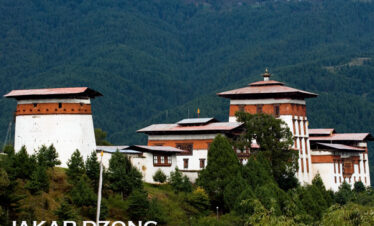
- Day 26 Tshichenchen to Jakar Bumthang.Distance 8Km | Walking Time 4/5 Hours | Altitude 2800M.
- Day 27 Bumthang to Wangdi. Distance 80 Km | Driving Time 2 Hours and 20 Minutes.
- Day 28 Wangdi to Thimphu. Distance 80Km | Driving Time 3 Hours.
- Day 29: Thimphu City Tour. Altitude 2400M.
- Day 30: Thimphu to Paro International Airport and See Off. Altitude 2300M.
Snowman Trek II cost
- Solo trekkers cost USD 20900.00
- A Group of 2 pax costs USD 17500 Per Person
- 2 to 4 Pax Group Cost USD 15500.00 Per Person
All our trek costs include a daily SDF of USD 100 per person, a one-time visa fee of USD 40 per person, trekking equipment, accommodation, a guide, transport, and meals.
Snowman Trek II Overview
The Snowman Trek Difficulty
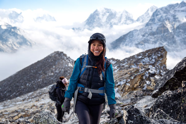
The Snowman Trek in Bhutan is known for its extreme difficulty and is considered one of the most challenging treks in the world. Here are the key factors contributing to its difficulty:
Length and Duration: The trek covers approximately 300 kilometres (186 miles) and takes around 20 to 25 days to complete, depending on the itinerary and weather conditions.
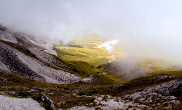
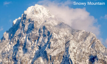
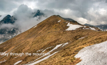
High Altitude: The trek involves multiple high passes, some of which exceed 5,000 meters (16,404 feet). Altitude sickness is a significant risk, and acclimatisation is crucial.
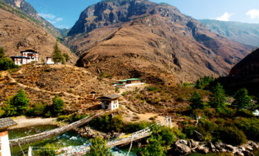
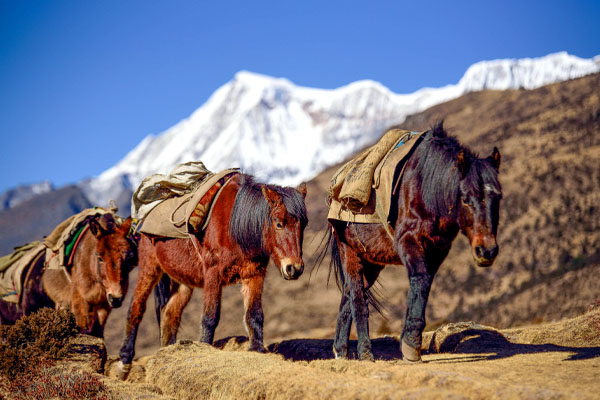
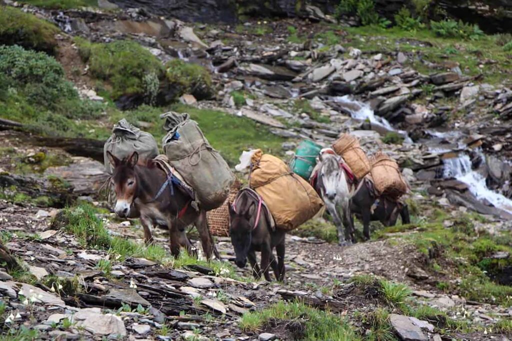
Remote Terrain: The trek traverses remote and rugged terrain, often far from any villages or support facilities. This isolation means that trekkers need to be self-sufficient and well-prepared.
Weather Conditions: The weather in the high Himalayas can be unpredictable and harsh, with sudden snowstorms, strong winds, and extreme cold, especially at higher altitudes.
Physical Demands: The trek requires excellent physical fitness and stamina. Long days of walking, steep ascents and descents, and carrying a heavy pack all contribute to the physical challenge.
Technical Sections: While the trek does not involve technical climbing, some sections can be steep, slippery, and require careful navigation, especially in adverse weather conditions.
Logistical Challenges: Organising the trek requires meticulous planning, including obtaining permits, arranging for guides, porters, and supplies, and being prepared for emergencies.
Due to these factors, the Snowman Trek is recommended only for experienced trekkers with high-altitude trekking experience and excellent physical fitness.
Best Season to Do the Trek in Bhutan
The best season is Autumn, from September to December. Snowman Trek is not advised for the Spring season. Spring is just the beginning of the peak winter months, and most of the passes are still closed due to heavy snowfall. The snow season in the mountains lasts till early June. Little rainfall on the plane caused snowfall in the mountains, causing the closure of the trek routes.
Note* You should prepare yourself for the Snowman Trek before the commencement of the trek.
Flights to Bhutan: There is a daily flight from Kolkata, Kathmandu and Bangkok. Check the flight schedule
Similar Trekking Tours
Snowman Trek II Highlights
- Challenge yourself to one of the hardest Trek in the World.
- Visit the tribal village of Laya.
- Camp at the highest Mountains of Bhutan.
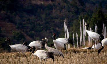
- Enjoy watching the wildlife of Bhutan as the trek falls on protected areas.
- Watch wildflowers and blue poppy(national flower of Bhutan).
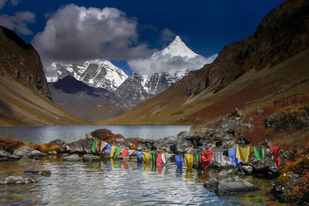
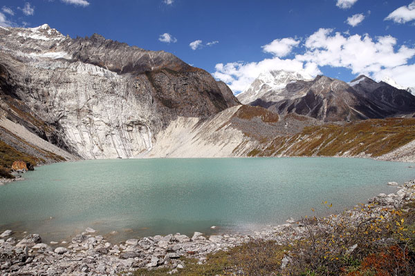
- Discover the highest mountains and crystal clear lakes of Bhutan.
- Hoist the prayer flag on the highest mountain pass of Bhutan.
- Cross highest 11 passes during the Snowman trek in Bhutan.
- Challenge yourself on one of the longest 220 miles trekking in Bhutan Experience the ancient tradition and culture of Bhutan.
- Explore the largest Lake of Bhutan in Lunana.